Latitude: 53.7349 / 53°44'5"N
Longitude: -0.6311 / 0°37'52"W
OS Eastings: 490395
OS Northings: 427369
OS Grid: SE903273
Mapcode National: GBR ST17.5W
Mapcode Global: WHGFM.8DQ3
Pluscode: 9C5XP9M9+XH
What3Words: roses.regaining.animals
Is the location marker in the wrong place? You can help fix that!
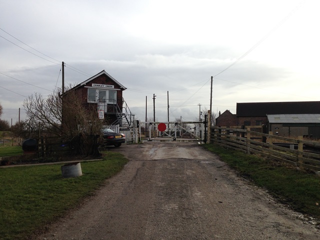
We don't yet have any user-contributed photos of Crabley Creek Level Crossing.