Latitude: 54.9046 / 54°54'16"N
Longitude: -4.8451 / 4°50'42"W
OS Eastings: 217686
OS Northings: 560359
OS Grid: NX176603
Mapcode National: GBR GHDR.CD6
Mapcode Global: WH2S9.KZ0G
Pluscode: 9C6QW533+RW
What3Words: dozens.grapevine.pimples
Is the location marker in the wrong place? You can help fix that!
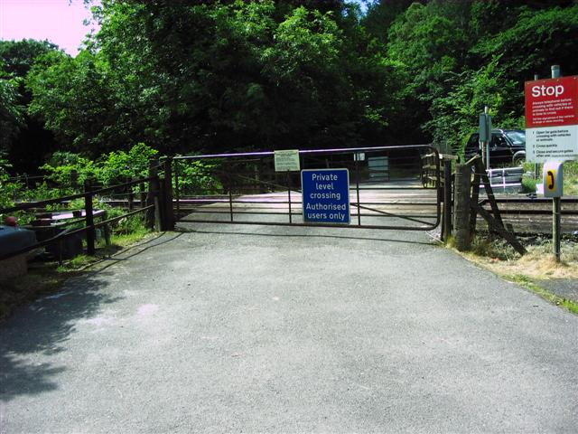
We don't yet have any user-contributed photos of Craig 2 Level Crossing.