Latitude: 53.4653 / 53°27'54"N
Longitude: -2.525 / 2°31'29"W
OS Eastings: 365243
OS Northings: 396631
OS Grid: SJ652966
Mapcode National: GBR BXTC.4J
Mapcode Global: WH98D.55W9
Pluscode: 9C5VFF8G+42
What3Words: diggers.purified.slab
Is the location marker in the wrong place? You can help fix that!
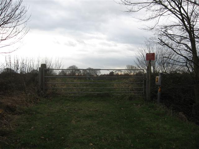
We don't yet have any user-contributed photos of Culcheth Farm Level Crossing.