Latitude: 58.0758 / 58°4'32"N
Longitude: -3.7392 / 3°44'21"W
OS Eastings: 297516
OS Northings: 910955
OS Grid: NC975109
Mapcode National: GBR K74C.V78
Mapcode Global: WH5DY.J8MW
Pluscode: 9CCR37G6+88
What3Words: moderated.jams.nags
Is the location marker in the wrong place? You can help fix that!
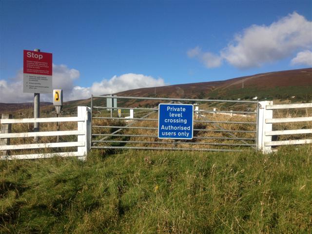
We don't yet have any user-contributed photos of Culgower 1 Level Crossing.