Latitude: 57.9167 / 57°55'0"N
Longitude: -4.4029 / 4°24'10"W
OS Eastings: 257751
OS Northings: 894455
OS Grid: NH577944
Mapcode National: GBR H7HS.XLX
Mapcode Global: WH3C4.B8MT
Pluscode: 9C9QWH8W+MV
What3Words: cassettes.movie.orange
Is the location marker in the wrong place? You can help fix that!
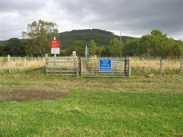
We don't yet have any user-contributed photos of Culrain Smithey Level Crossing.