Latitude: 56.2886 / 56°17'18"N
Longitude: -3.0683 / 3°4'5"W
OS Eastings: 333966
OS Northings: 711190
OS Grid: NO339111
Mapcode National: GBR 2F.7LMQ
Mapcode Global: WH6R3.V62G
Pluscode: 9C8R7WQJ+CM
What3Words: kidney.blown.mornings
Is the location marker in the wrong place? You can help fix that!
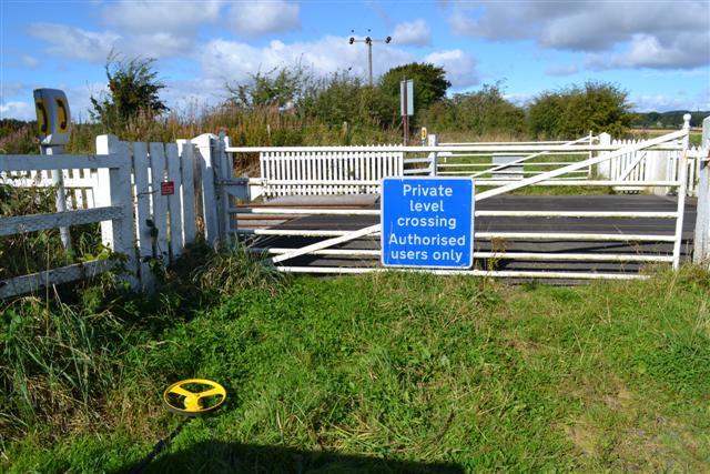
We don't yet have any user-contributed photos of Cults Mill Level Crossing.