Latitude: 51.6099 / 51°36'35"N
Longitude: -2.6826 / 2°40'57"W
OS Eastings: 352829
OS Northings: 190339
OS Grid: ST528903
Mapcode National: GBR JL.9ZXH
Mapcode Global: VH87T.GS5Q
Pluscode: 9C3VJ858+XX
What3Words: ballparks.prettiest.arts
Is the location marker in the wrong place? You can help fix that!
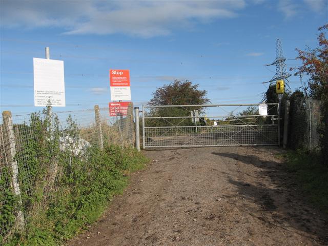
We don't yet have any user-contributed photos of Curb Hut Level Crossing.