Latitude: 55.8956 / 55°53'44"N
Longitude: -3.3395 / 3°20'22"W
OS Eastings: 316334
OS Northings: 667751
OS Grid: NT163677
Mapcode National: GBR 5038.TF
Mapcode Global: WH6SX.N2ZP
Pluscode: 9C7RVMW6+66
What3Words: discusses.rating.drum
Is the location marker in the wrong place? You can help fix that!
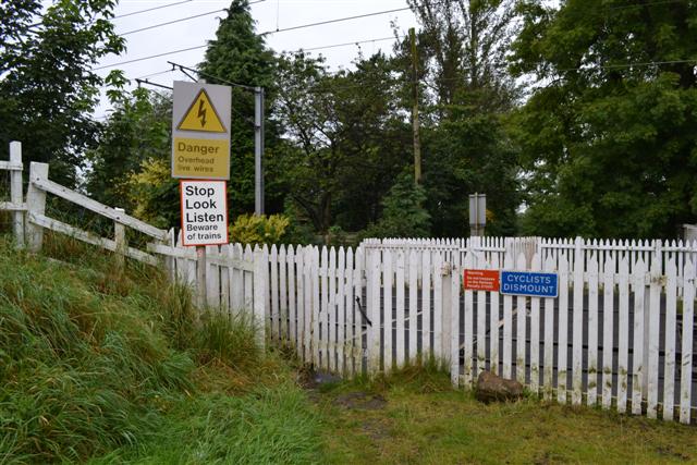
We don't yet have any user-contributed photos of Curriehill Level Crossing.