Latitude: 51.7073 / 51°42'26"N
Longitude: -3.4239 / 3°25'26"W
OS Eastings: 301707
OS Northings: 201912
OS Grid: SO017019
Mapcode National: GBR HL.3RGL
Mapcode Global: VH6D3.LCS0
Pluscode: 9C3RPH4G+WC
What3Words: rams.sandpaper.staked
Is the location marker in the wrong place? You can help fix that!
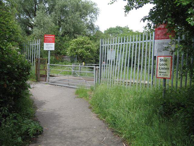
We don't yet have any user-contributed photos of Cwmbach Sidings Level Crossing.