Latitude: 53.1089 / 53°6'31"N
Longitude: -2.5078 / 2°30'28"W
OS Eastings: 366099
OS Northings: 356976
OS Grid: SJ660569
Mapcode National: GBR 7T.83BR
Mapcode Global: WH9B4.G30Z
Pluscode: 9C5V4F5R+HV
What3Words: beamed.intervene.physical
Is the location marker in the wrong place? You can help fix that!
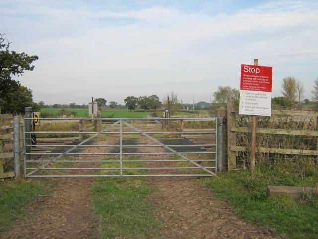
We don't yet have any user-contributed photos of Dairyhouse Farm Level Crossing.