Latitude: 50.6805 / 50°40'49"N
Longitude: -2.2359 / 2°14'9"W
OS Eastings: 383428
OS Northings: 86784
OS Grid: SY834867
Mapcode National: GBR 21H.CHP
Mapcode Global: FRA 6768.W6G
Pluscode: 9C2VMQJ7+5J
What3Words: motor.giant.should
Is the location marker in the wrong place? You can help fix that!
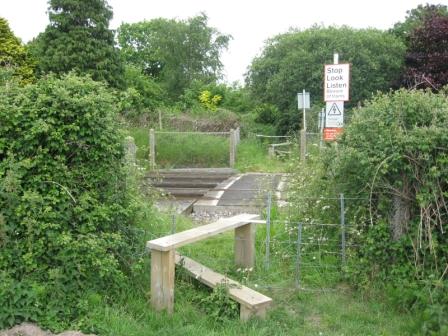
We don't yet have any user-contributed photos of Darkies Level Crossing.