Latitude: 53.5925 / 53°35'32"N
Longitude: -0.6395 / 0°38'22"W
OS Eastings: 490146
OS Northings: 411517
OS Grid: SE901115
Mapcode National: GBR RVZW.BX
Mapcode Global: WHGG6.4YRT
Pluscode: 9C5XH9R6+X6
What3Words: tulip.lists.allows
Is the location marker in the wrong place? You can help fix that!
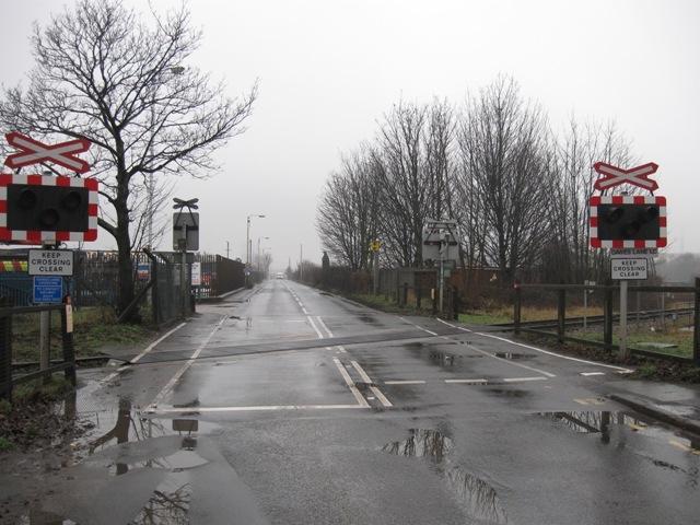
We don't yet have any user-contributed photos of Dawes Lane Level Crossing.