Latitude: 50.6791 / 50°40'44"N
Longitude: -3.4516 / 3°27'5"W
OS Eastings: 297532
OS Northings: 87613
OS Grid: SX975876
Mapcode National: GBR P3.3WXY
Mapcode Global: FRA 37N8.WMY
Pluscode: 9C2RMGHX+M8
What3Words: perusing.quitter.cornfield
Is the location marker in the wrong place? You can help fix that!
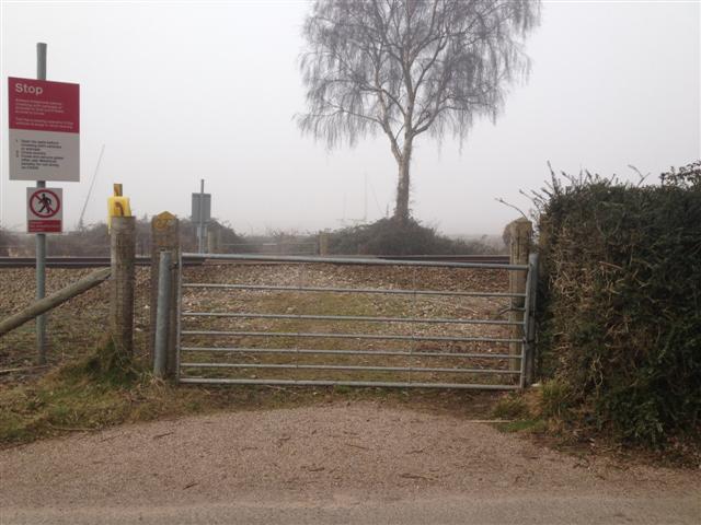
We don't yet have any user-contributed photos of Daws Level Crossing.