Latitude: 52.9028 / 52°54'10"N
Longitude: -3.047 / 3°2'49"W
OS Eastings: 329672
OS Northings: 334447
OS Grid: SJ296344
Mapcode National: GBR 73.P4CX
Mapcode Global: WH89Q.599G
Pluscode: 9C4RWX33+45
What3Words: dunk.seagulls.documents
Is the location marker in the wrong place? You can help fix that!
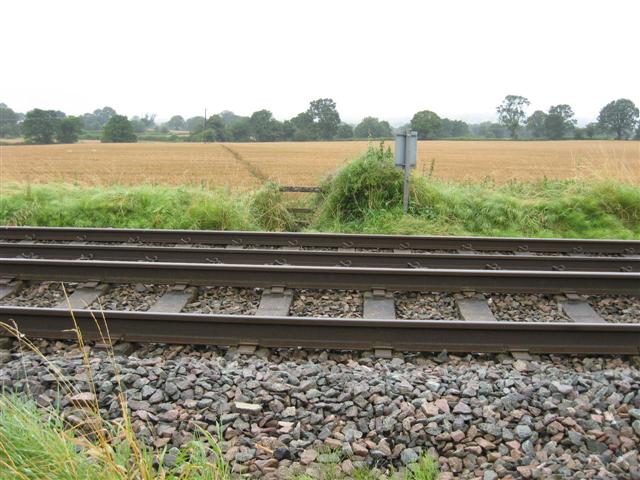
We don't yet have any user-contributed photos of Daywall 2 Level Crossing.