Latitude: 51.2553 / 51°15'19"N
Longitude: 1.0097 / 1°0'34"E
OS Eastings: 610108
OS Northings: 154986
OS Grid: TR101549
Mapcode National: GBR SX1.B2F
Mapcode Global: VHKK4.GQ41
Pluscode: 9F337245+4V
What3Words: vacancies.crouches.vehicle
Is the location marker in the wrong place? You can help fix that!
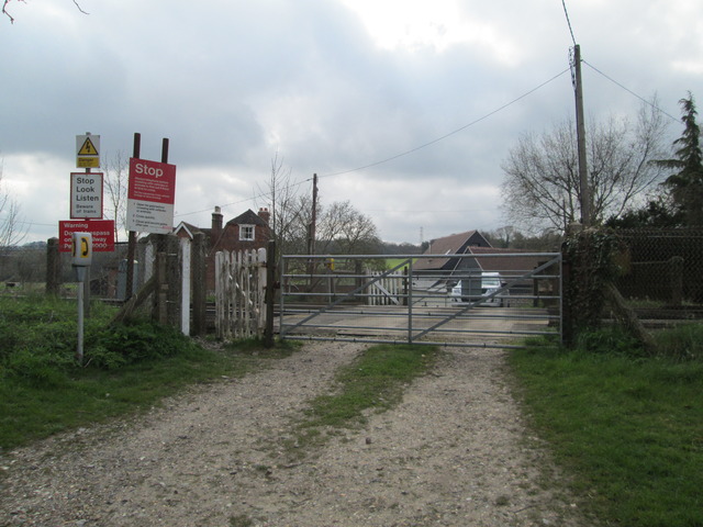
We don't yet have any user-contributed photos of Deanery Level Crossing.