Latitude: 54.9834 / 54°59'0"N
Longitude: -2.5945 / 2°35'40"W
OS Eastings: 362053
OS Northings: 565582
OS Grid: NY620655
Mapcode National: GBR BBBT.3D
Mapcode Global: WH910.30TH
Pluscode: 9C6VXCM4+96
What3Words: nosedive.until.coats
Is the location marker in the wrong place? You can help fix that!
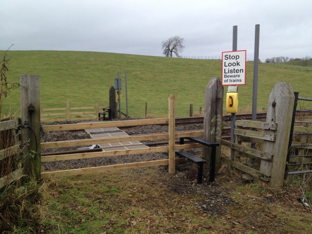
We don't yet have any user-contributed photos of Denton Farm Level Crossing.