Latitude: 54.9815 / 54°58'53"N
Longitude: -2.6011 / 2°36'3"W
OS Eastings: 361628
OS Northings: 565381
OS Grid: NY616653
Mapcode National: GBR BB8V.N1
Mapcode Global: WH910.01NX
Pluscode: 9C6VX9JX+JH
What3Words: waxer.detection.shampoos
Is the location marker in the wrong place? You can help fix that!
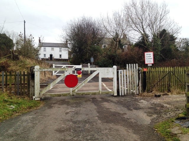
We don't yet have any user-contributed photos of Denton Village Level Crossing.