Latitude: 52.8187 / 52°49'7"N
Longitude: -2.7405 / 2°44'25"W
OS Eastings: 350195
OS Northings: 324831
OS Grid: SJ501248
Mapcode National: GBR 7J.VDTR
Mapcode Global: WH8B7.WD6Y
Pluscode: 9C4VR795+FR
What3Words: speedily.exists.method
Is the location marker in the wrong place? You can help fix that!
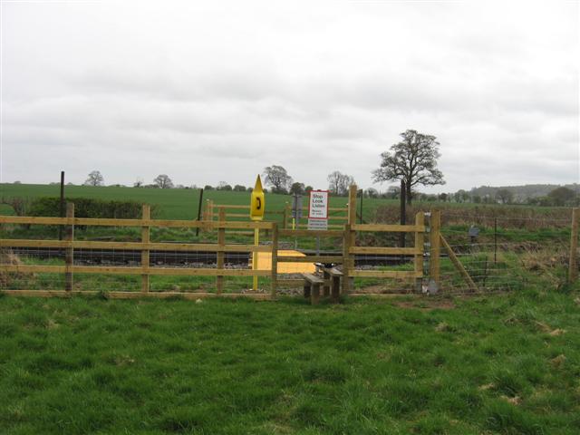
We don't yet have any user-contributed photos of Dickensons Farm Level Crossing.