Latitude: 54.1589 / 54°9'32"N
Longitude: -2.6549 / 2°39'17"W
OS Eastings: 357333
OS Northings: 473876
OS Grid: SD573738
Mapcode National: GBR 9NXB.0X
Mapcode Global: WH94V.6Q1K
Pluscode: 9C6V585W+H3
What3Words: compliant.childcare.keepers
Is the location marker in the wrong place? You can help fix that!
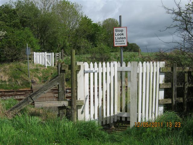
We don't yet have any user-contributed photos of Dockers Footpath No.13 Level Crossing.