Latitude: 54.3767 / 54°22'36"N
Longitude: -3.4433 / 3°26'35"W
OS Eastings: 306348
OS Northings: 498873
OS Grid: SD063988
Mapcode National: GBR 4KDT.BT
Mapcode Global: WH717.28M2
Pluscode: 9C6R9HG4+MM
What3Words: craters.sobered.obliging
Is the location marker in the wrong place? You can help fix that!
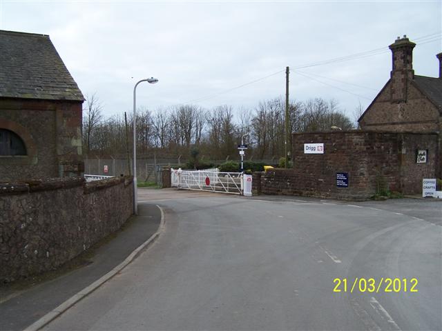
We don't yet have any user-contributed photos of Drigg Level Crossing.