Latitude: 53.3851 / 53°23'6"N
Longitude: -3.1829 / 3°10'58"W
OS Eastings: 321421
OS Northings: 388232
OS Grid: SJ214882
Mapcode National: GBR 6Y69.Q8
Mapcode Global: WH766.25MS
Pluscode: 9C5R9RP8+2V
What3Words: dots.cosmic.craft
Is the location marker in the wrong place? You can help fix that!
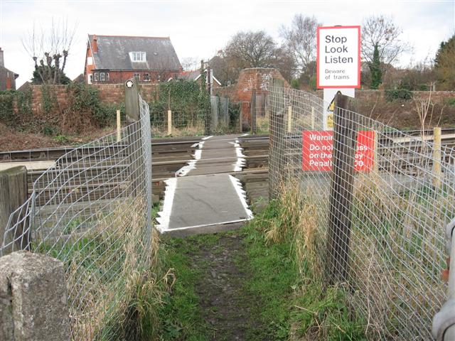
We don't yet have any user-contributed photos of Drummond Avenue Level Crossing.