Latitude: 54.2062 / 54°12'22"N
Longitude: -3.2024 / 3°12'8"W
OS Eastings: 321671
OS Northings: 479609
OS Grid: SD216796
Mapcode National: GBR 6M2S.HY
Mapcode Global: WH723.SJ7S
Pluscode: 9C6R6Q4X+F3
What3Words: bystander.socialite.jaundice
Is the location marker in the wrong place? You can help fix that!
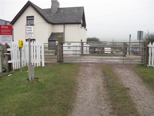
We don't yet have any user-contributed photos of Dunnerholme Level Crossing.