Latitude: 50.8184 / 50°49'6"N
Longitude: 0.0331 / 0°1'59"E
OS Eastings: 543314
OS Northings: 104069
OS Grid: TQ433040
Mapcode National: GBR LS0.P5M
Mapcode Global: FRA B6YX.YJG
Pluscode: 9F22R29M+97
What3Words: basher.clinking.scarred
Is the location marker in the wrong place? You can help fix that!
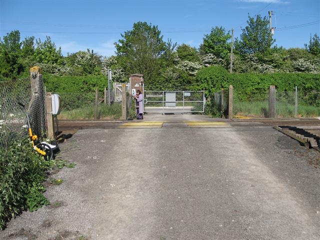
We don't yet have any user-contributed photos of Durham Farm Level Crossing.