Latitude: 54.9468 / 54°56'48"N
Longitude: -1.4212 / 1°25'16"W
OS Eastings: 437170
OS Northings: 561501
OS Grid: NZ371615
Mapcode National: GBR LCJ7.3H
Mapcode Global: WHD4Z.4XHL
Pluscode: 9C6WWHWH+PG
What3Words: sentences.stages.lots
Is the location marker in the wrong place? You can help fix that!
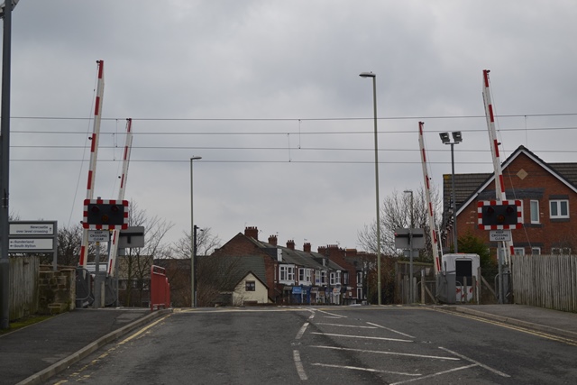
We don't yet have any user-contributed photos of East Boldon Level Crossing.