Latitude: 54.8371 / 54°50'13"N
Longitude: -2.7827 / 2°46'57"W
OS Eastings: 349828
OS Northings: 549426
OS Grid: NY498494
Mapcode National: GBR 9D0H.CT
Mapcode Global: WH80C.7P54
Pluscode: 9C6VR6P8+VW
What3Words: helpers.smoker.variation
Is the location marker in the wrong place? You can help fix that!
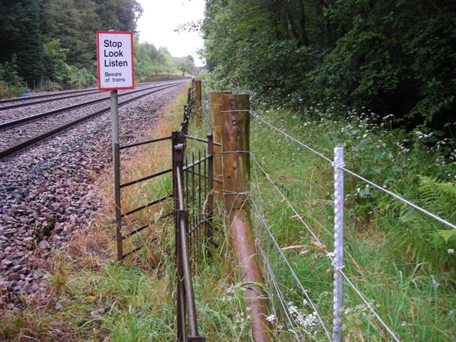
We don't yet have any user-contributed photos of Eden Brows Level Crossing.