Latitude: 53.3937 / 53°23'37"N
Longitude: -3.1728 / 3°10'21"W
OS Eastings: 322108
OS Northings: 389182
OS Grid: SJ221891
Mapcode National: GBR 6Y86.X5
Mapcode Global: WH760.7YDP
Pluscode: 9C5R9RVG+FV
What3Words: litigate.noticing.exporters
Is the location marker in the wrong place? You can help fix that!
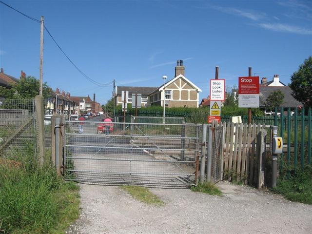
We don't yet have any user-contributed photos of Elm Grove Level Crossing.