Latitude: 51.5417 / 51°32'30"N
Longitude: -3.6 / 3°35'59"W
OS Eastings: 289139
OS Northings: 183747
OS Grid: SS891837
Mapcode National: GBR HC.G360
Mapcode Global: VH5HB.KH6Z
Pluscode: 9C3RGCR2+M2
What3Words: decoding.recruited.fully
Is the location marker in the wrong place? You can help fix that!
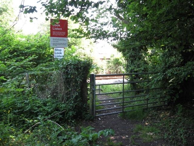
We don't yet have any user-contributed photos of Evanstown Level Crossing.