Latitude: 53.2257 / 53°13'32"N
Longitude: -2.8024 / 2°48'8"W
OS Eastings: 346524
OS Northings: 370150
OS Grid: SJ465701
Mapcode National: GBR 7F.0XCN
Mapcode Global: WH888.X5PY
Pluscode: 9C5V65GX+72
What3Words: massing.groomed.clays
Is the location marker in the wrong place? You can help fix that!
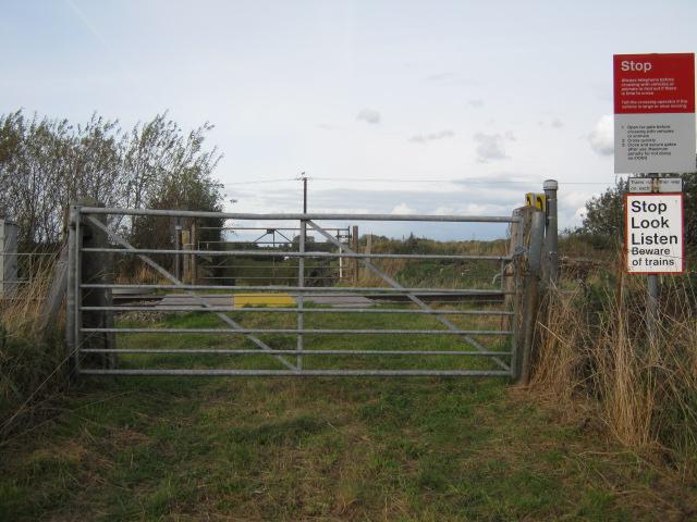
We don't yet have any user-contributed photos of Farmer Johnsons Level Crossing.