Latitude: 50.853 / 50°51'10"N
Longitude: 0.1319 / 0°7'54"E
OS Eastings: 550159
OS Northings: 108112
OS Grid: TQ501081
Mapcode National: GBR LRR.J4P
Mapcode Global: FRA C65V.76V
Pluscode: 9F22V43J+6Q
What3Words: winter.leaves.frail
Is the location marker in the wrong place? You can help fix that!
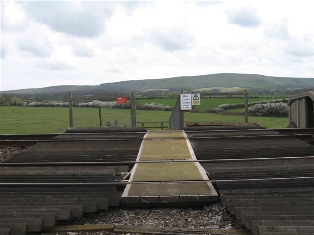
We don't yet have any user-contributed photos of Firle Farm Level Crossing.