Latitude: 53.5744 / 53°34'27"N
Longitude: -3.0706 / 3°4'14"W
OS Eastings: 329207
OS Northings: 409173
OS Grid: SD292091
Mapcode National: GBR 7W03.0F
Mapcode Global: WH758.TF05
Pluscode: 9C5RHWFH+PQ
What3Words: pens.wedge.axed
Is the location marker in the wrong place? You can help fix that!
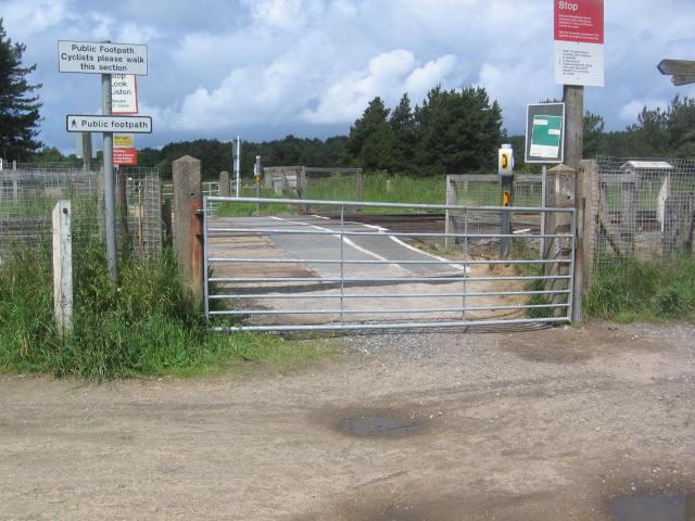
We don't yet have any user-contributed photos of Fishermans Path Level Crossing.