Latitude: 54.0616 / 54°3'41"N
Longitude: -0.9724 / 0°58'20"W
OS Eastings: 467357
OS Northings: 463340
OS Grid: SE673633
Mapcode National: GBR PPNG.8S
Mapcode Global: WHFBS.157M
Pluscode: 9C6X326H+J2
What3Words: eager.dislodge.greed
Is the location marker in the wrong place? You can help fix that!
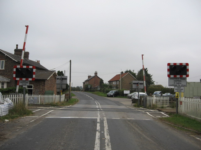
We don't yet have any user-contributed photos of Flaxton Level Crossing.