Latitude: 54.9669 / 54°58'0"N
Longitude: -3.0075 / 3°0'26"W
OS Eastings: 335596
OS Northings: 564047
OS Grid: NY355640
Mapcode National: GBR 7CF0.P9
Mapcode Global: WH7ZN.SF15
Pluscode: 9C6RXX8V+P2
What3Words: poppy.laminated.charm
Is the location marker in the wrong place? You can help fix that!
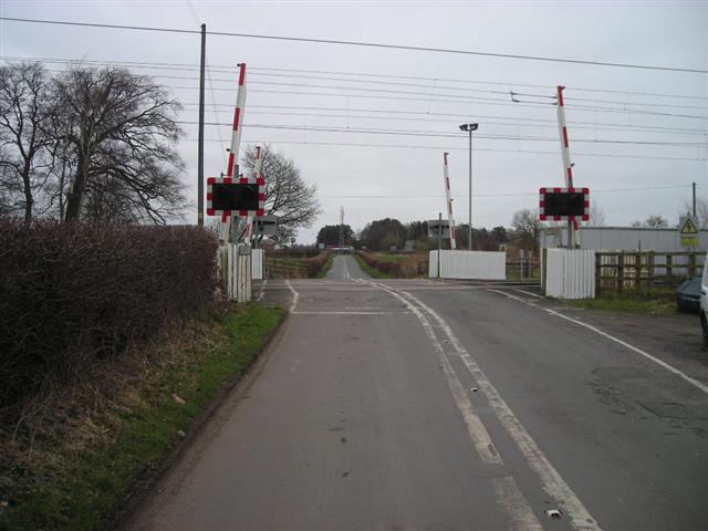
We don't yet have any user-contributed photos of Floriston Level Crossing.