Latitude: 53.8302 / 53°49'48"N
Longitude: -0.4195 / 0°25'10"W
OS Eastings: 504118
OS Northings: 438266
OS Grid: TA041382
Mapcode National: GBR TSH4.ZQ
Mapcode Global: WHGF4.JZGK
Pluscode: 9C5XRHJJ+36
What3Words: headings.overhead.courtyard
Is the location marker in the wrong place? You can help fix that!
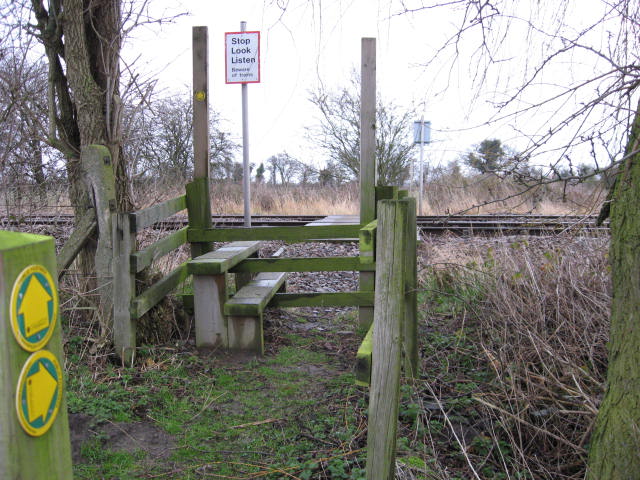
We don't yet have any user-contributed photos of Footpath 13r Level Crossing.