Latitude: 53.701 / 53°42'3"N
Longitude: -1.065 / 1°3'54"W
OS Eastings: 461822
OS Northings: 423131
OS Grid: SE618231
Mapcode National: GBR PT0N.61
Mapcode Global: WHFDG.M71L
Pluscode: 9C5WPW2M+9X
What3Words: fended.howler.chestnuts
Is the location marker in the wrong place? You can help fix that!
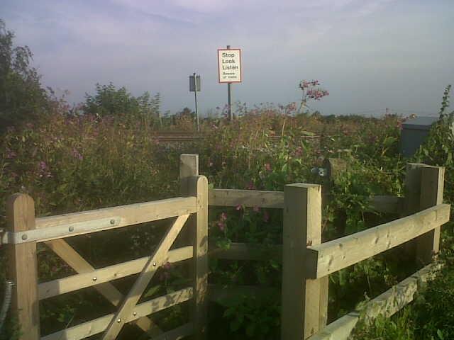
We don't yet have any user-contributed photos of Footpath No.6 Level Crossing.