Latitude: 53.2327 / 53°13'57"N
Longitude: -2.6389 / 2°38'20"W
OS Eastings: 357447
OS Northings: 370818
OS Grid: SJ574708
Mapcode National: GBR 7N.07J6
Mapcode Global: WH99H.F0LK
Pluscode: 9C5V69M6+3C
What3Words: every.mouse.reverted
Is the location marker in the wrong place? You can help fix that!
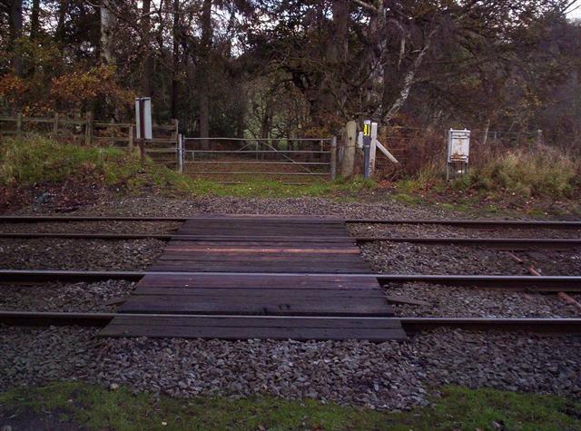
We don't yet have any user-contributed photos of Forest House Farm Level Crossing.