Latitude: 52.4548 / 52°27'17"N
Longitude: 0.6412 / 0°38'28"E
OS Eastings: 579559
OS Northings: 287379
OS Grid: TL795873
Mapcode National: GBR QBD.0XY
Mapcode Global: VHJFP.2K9G
Pluscode: 9F42FJ3R+WF
What3Words: sweeper.callers.cabbies
Is the location marker in the wrong place? You can help fix that!
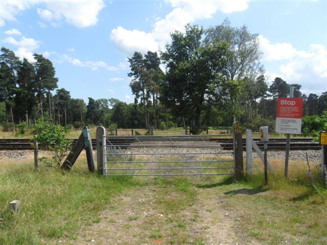
We don't yet have any user-contributed photos of Forestry Level Crossing.