Latitude: 53.3403 / 53°20'25"N
Longitude: -1.904 / 1°54'14"W
OS Eastings: 406488
OS Northings: 382607
OS Grid: SK064826
Mapcode National: GBR HY4T.L9
Mapcode Global: WHBBD.Q9JL
Pluscode: 9C5W83RW+4C
What3Words: overpower.floating.carry
Is the location marker in the wrong place? You can help fix that!
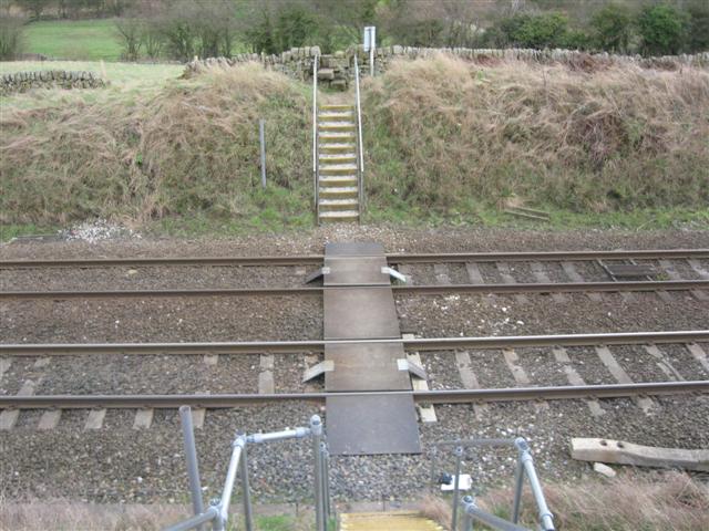
We don't yet have any user-contributed photos of Forty Steps Level Crossing.