Latitude: 55.1557 / 55°9'20"N
Longitude: -1.5385 / 1°32'18"W
OS Eastings: 429506
OS Northings: 584694
OS Grid: NZ295846
Mapcode National: GBR K8PT.QM
Mapcode Global: WHC2T.BNMX
Pluscode: 9C7W5F46+7J
What3Words: match.comet.alive
Is the location marker in the wrong place? You can help fix that!
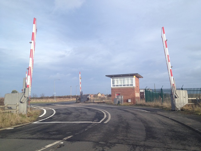
We don't yet have any user-contributed photos of Freemans Level Crossing.