Latitude: 52.5574 / 52°33'26"N
Longitude: -3.9245 / 3°55'28"W
OS Eastings: 269627
OS Northings: 297249
OS Grid: SN696972
Mapcode National: GBR 8Z.CVSC
Mapcode Global: WH57F.PZD9
Pluscode: 9C4RH34G+X5
What3Words: merely.confining.nuzzled
Is the location marker in the wrong place? You can help fix that!
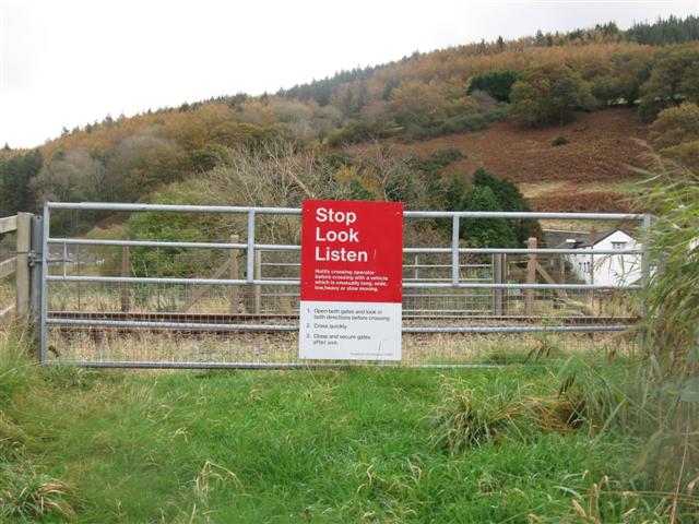
We don't yet have any user-contributed photos of Garreg Level Crossing.