Latitude: 55.9619 / 55°57'43"N
Longitude: -4.6631 / 4°39'47"W
OS Eastings: 233858
OS Northings: 677528
OS Grid: NS338775
Mapcode National: GBR 0H.XGD2
Mapcode Global: WH2MC.BDPV
Pluscode: 9C7QX86P+QP
What3Words: fuses.colleague.keep
Is the location marker in the wrong place? You can help fix that!
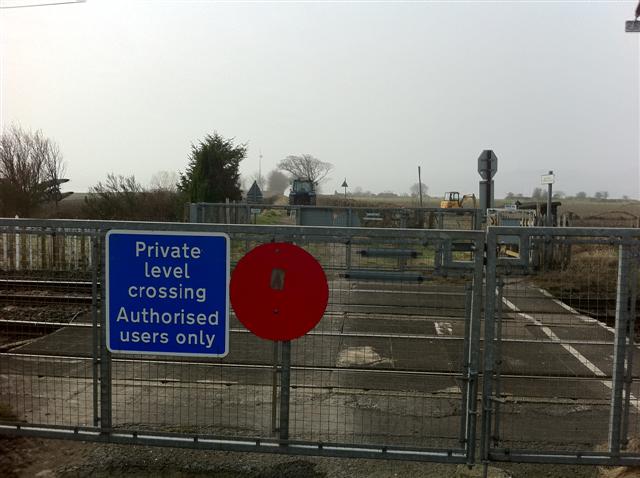
We don't yet have any user-contributed photos of Geilston Level Crossing.