Latitude: 51.6524 / 51°39'8"N
Longitude: -3.274 / 3°16'26"W
OS Eastings: 311957
OS Northings: 195614
OS Grid: ST119956
Mapcode National: GBR HT.7162
Mapcode Global: VH6DD.6QHM
Pluscode: 9C3RMP2G+X9
What3Words: parsnip.sculpture.divides
Is the location marker in the wrong place? You can help fix that!
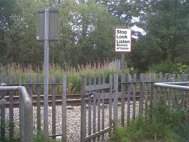
We don't yet have any user-contributed photos of Gelligaer 165 Level Crossing.