Latitude: 54.9887 / 54°59'19"N
Longitude: -2.5753 / 2°34'30"W
OS Eastings: 363287
OS Northings: 566168
OS Grid: NY632661
Mapcode National: GBR BBGR.8G
Mapcode Global: WH90T.DVXY
Pluscode: 9C6VXCQF+FV
What3Words: sonic.sudden.ignites
Is the location marker in the wrong place? You can help fix that!
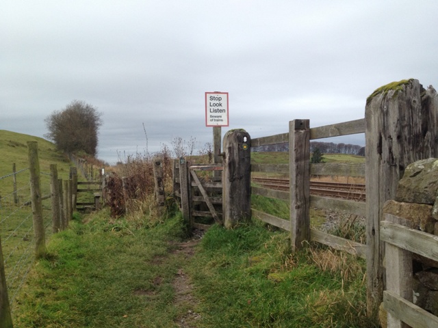
We don't yet have any user-contributed photos of Gilsland Level Crossing.