Latitude: 52.6253 / 52°37'30"N
Longitude: 1.3441 / 1°20'38"E
OS Eastings: 626433
OS Northings: 308306
OS Grid: TG264083
Mapcode National: GBR WHT.JMS
Mapcode Global: WHMTN.M88R
Pluscode: 9F43J8GV+4J
What3Words: blaze.handed.swan
Is the location marker in the wrong place? You can help fix that!
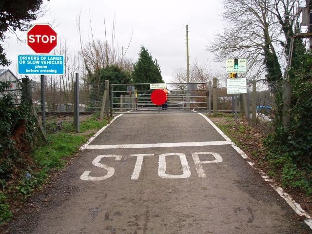
We don't yet have any user-contributed photos of Girlings Level Crossing.