Latitude: 52.5556 / 52°33'20"N
Longitude: -3.9255 / 3°55'31"W
OS Eastings: 269553
OS Northings: 297046
OS Grid: SN695970
Mapcode National: GBR 8Z.D23S
Mapcode Global: VH4DV.X127
Pluscode: 9C4RH34F+6Q
What3Words: belt.rises.canal
Is the location marker in the wrong place? You can help fix that!
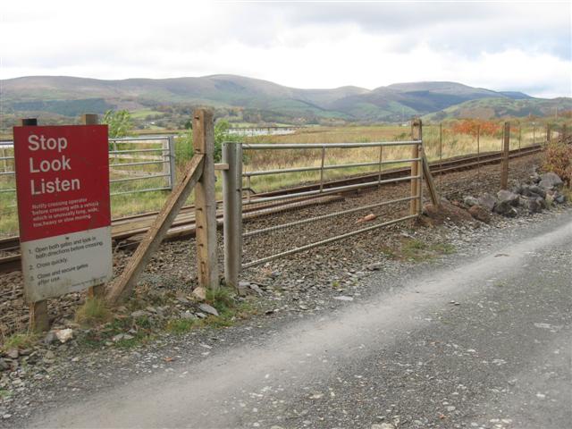
We don't yet have any user-contributed photos of Glandyfi Level Crossing.