Latitude: 54.5893 / 54°35'21"N
Longitude: -1.3321 / 1°19'55"W
OS Eastings: 443258
OS Northings: 521770
OS Grid: NZ432217
Mapcode National: GBR MH4C.DN
Mapcode Global: WHD6R.HXW5
Pluscode: 9C6WHMQ9+P5
What3Words: update.memory.wash
Is the location marker in the wrong place? You can help fix that!
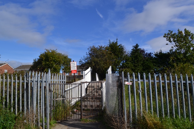
We don't yet have any user-contributed photos of Glebe Level Crossing.