Latitude: 51.6877 / 51°41'15"N
Longitude: -3.3983 / 3°23'53"W
OS Eastings: 303437
OS Northings: 199692
OS Grid: ST034996
Mapcode National: GBR HM.4ZY0
Mapcode Global: VH6D4.1VT3
Pluscode: 9C3RMJQ2+3M
What3Words: dives.reaction.mulled
Is the location marker in the wrong place? You can help fix that!
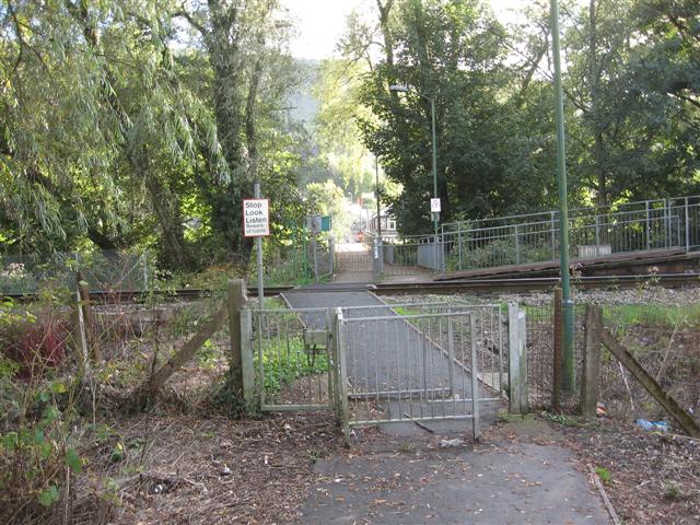
We don't yet have any user-contributed photos of Glenboi Level Crossing.