Latitude: 52.5444 / 52°32'39"N
Longitude: -4.0568 / 4°3'24"W
OS Eastings: 260616
OS Northings: 296043
OS Grid: SN606960
Mapcode National: GBR 8S.DZRC
Mapcode Global: VH4DS.M9NV
Pluscode: 9C4QGWVV+P7
What3Words: pleaser.bunks.handsets
Is the location marker in the wrong place? You can help fix that!
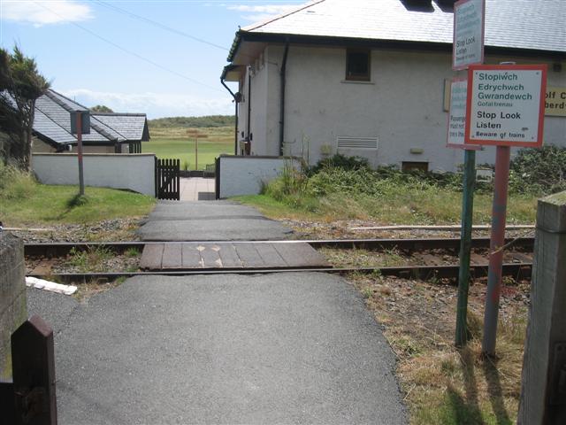
We don't yet have any user-contributed photos of Golf Club Aberdovey Level Crossing.