Latitude: 53.0147 / 53°0'53"N
Longitude: -0.9844 / 0°59'3"W
OS Eastings: 468230
OS Northings: 346863
OS Grid: SK682468
Mapcode National: GBR 9JB.XM9
Mapcode Global: WHFHS.VHD5
Pluscode: 9C5X2278+V6
What3Words: rises.reactions.emblem
Is the location marker in the wrong place? You can help fix that!
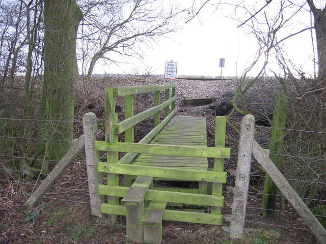
We don't yet have any user-contributed photos of Gonalston Level Crossing.