Latitude: 51.3517 / 51°21'5"N
Longitude: 0.7021 / 0°42'7"E
OS Eastings: 588255
OS Northings: 164864
OS Grid: TQ882648
Mapcode National: GBR QRT.B9W
Mapcode Global: VHKJL.4915
Pluscode: 9F329P22+MR
What3Words: forum.renamed.rebounded
Is the location marker in the wrong place? You can help fix that!
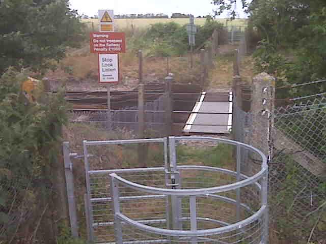
We don't yet have any user-contributed photos of Goodhews Level Crossing.