Latitude: 54.189 / 54°11'20"N
Longitude: -0.5531 / 0°33'11"W
OS Eastings: 494512
OS Northings: 477993
OS Grid: SE945779
Mapcode National: GBR SNL0.13
Mapcode Global: WHGCB.GZV0
Pluscode: 9C6X5CQW+JQ
What3Words: taskbar.loopholes.recent
Is the location marker in the wrong place? You can help fix that!
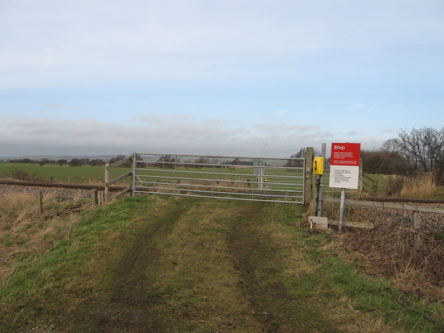
We don't yet have any user-contributed photos of Grange Farm Level Crossing.